The professionals at Bay have a full suite of geophysical methods to provide superior subsurface imaging solutions for today’s most challenging projects.
Electromagnetics
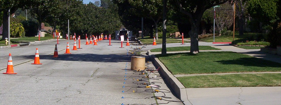
Electromagnetic (EM) methods include frequency domain EM methods such as EM induction, EM utility locator/metal detection methods, very low frequency (VLF) EM, and controlled source audio-frequency magnetotellurics (CSAMT); as well as time domain EM methods (TDEM). Bay has successfully utilized a wide variety of EM methods during various hydrogeological, environmental and engineering investigations.
EM induction and EM utility locations are the most common EM techniques applied to shallow engineering and environmental investigations. Applications include:
Locate buried tanks and pipes
Locate pits and trenches containing metallic and/or non-metallic debris
Delineate landfill boundaries
Delineate oil production sumps and mud pits
Map conductive soil and groundwater contamination
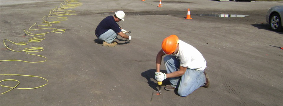
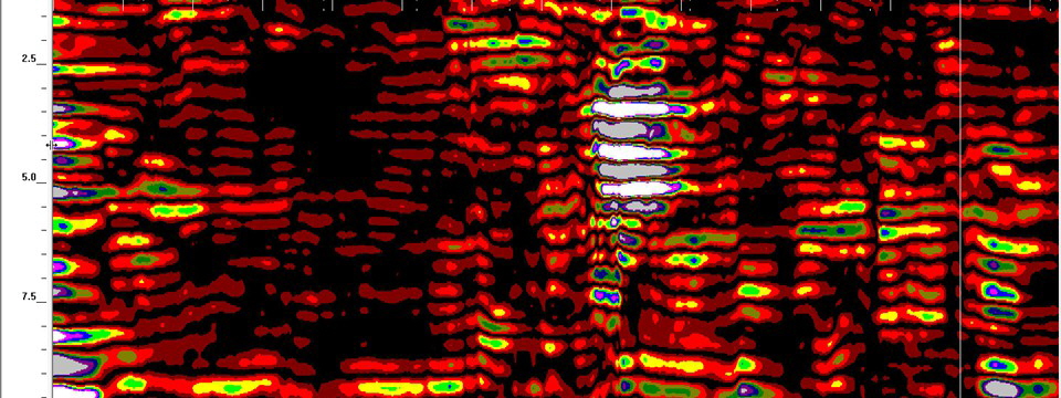
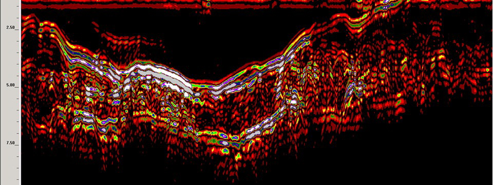
Ground Penetrating Radar
Ground penetrating radar (GPR) is a high frequency electromagnetic method commonly applied to a number of engineering and environmental projects. The GPR method is used for very rapid high resolution mapping of the shallow subsurface. Applications include:
Locate and delineate underground storage tanks (metallic and non-metallic)
Locate metallic and non-metallic pipes and utility cables
Map rebar in concrete structures
Map landfill boundaries
Delineate pits and trenches containing metallic and non-metallic debris
Delineate leach fields and industrial cribs
Delineate previously excavated and back-filled areas
The magnetic method measures the intensity of a component or the total of the earth’s magnetic field, and the horizontal or vertical gradient of the earth’s magnetic field. Magnetics is used in engineering, environmental and exploration. Applications include:
Locate buried utilities and tank
Map vertical subsurface structure
Locate buried metallic debris
Detect buried ordnance
Delineate waste sites and landfill boundaries
Map basement faults and geology
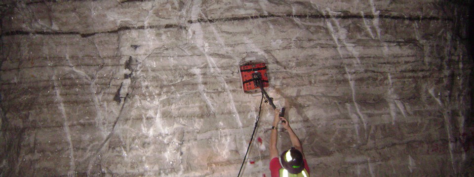
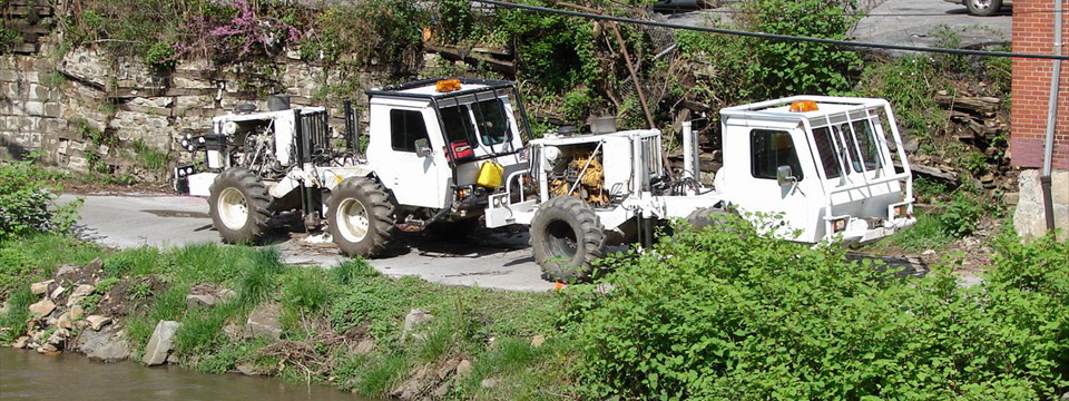
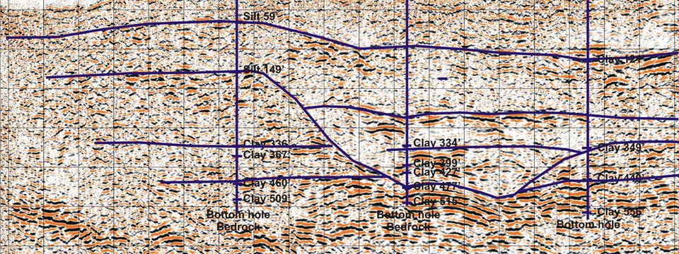
Borehole Geophysics
Bay uses a wide range of borehole geophysical methods depending on the application. These methods provide in-situ measurements of physical properties of the subsurface layers. Applications include:
Borehole logging for environmental and hydrogeological investigations (natural gamma, single-point resistivity, self potential and conductivity)
PS suspension logging for measuring P-wave and S-wave velocities for stratigraphic correlation
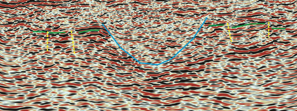
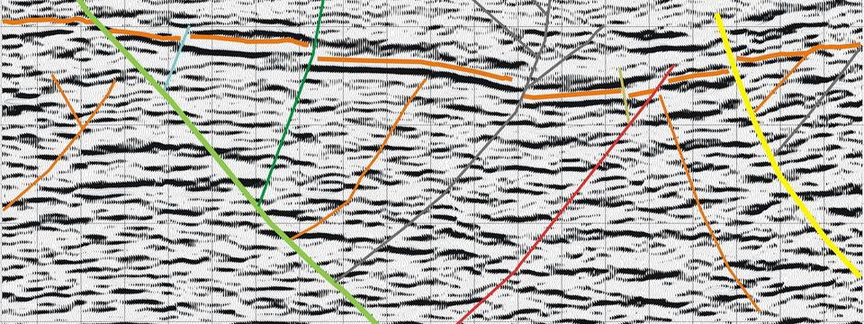
Vertical Seismic Profiles (VSP) for stratigraphic correlation and mapping for exploration and engineering
Check shot surveys for subsurface stratigraphical correlation for exploration
Gravity
The gravity method is used to map lateral variations in rock densities resulting from different rock types and structural features. gravity is used in both local and regional exploration as well as engineering applications.
Click here for more engineering geophysical methods