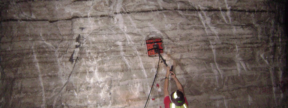
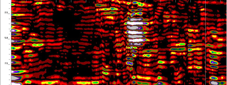
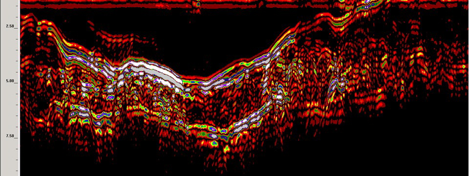
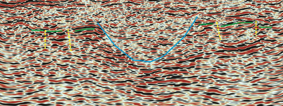
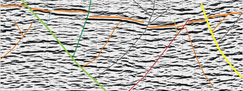
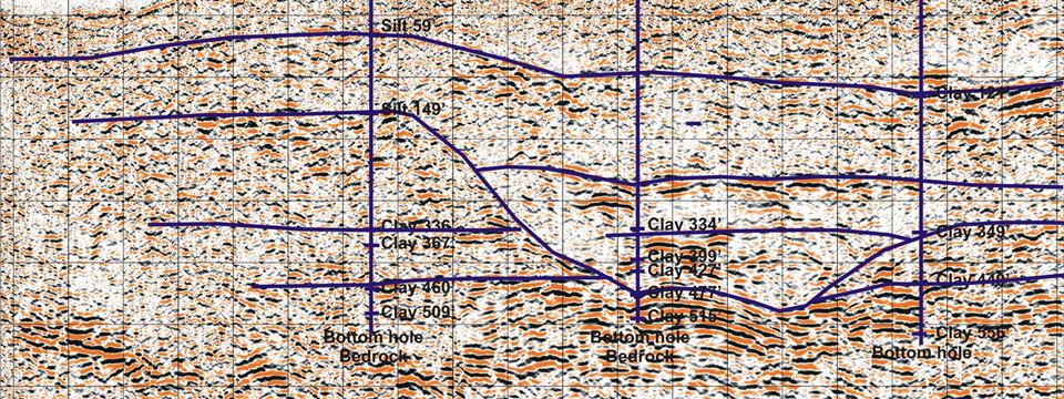
2-D and 3-D Seismic Reflection
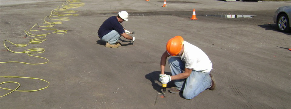
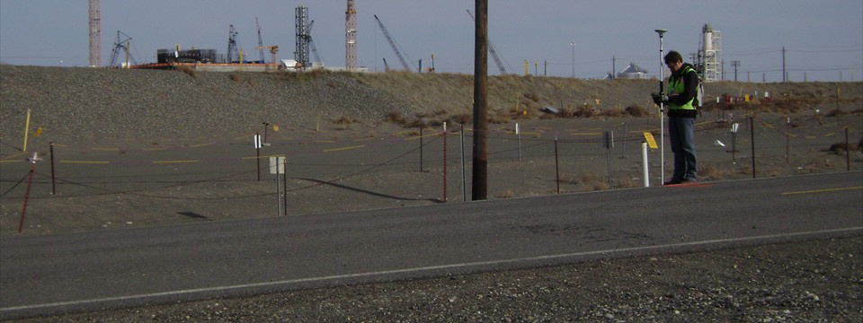
Bay specializes in seismic reflection techniques for mapping structures, faults, lithology, reservoirs and mineral deposits. Bay’s extensive acquisition of high resolution seismic data, combined with out experience, and a full suite of standard and experimental seismic sources, has provided us with the knowledge necessary to help you design your survey with the acquisition parameters required to image the subsurface environment at your site location. Learn More
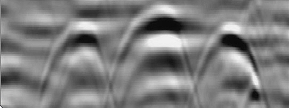
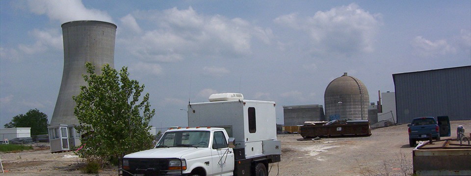
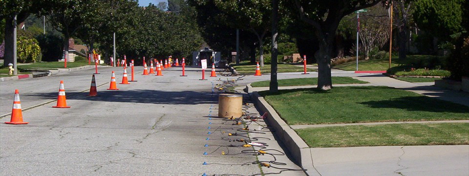
2-D and 3-D seismic reflection case study
|